
Search a Willoughby Street by Address
Address records in Willoughby answer different questions. The Lake County Auditor can identify a parcel and the owner or tax-mailing contact associated with it. Lake Navigator puts that parcel beside roads, address points, subdivisions, and other map layers. The Recorder supplies the land-document trail, while a dated criss-cross directory can show a name listed at that address for a particular historical year. None creates a complete list of everyone on a road. Together, they create a careful street-by-street record trail that can be checked at each step.
- Enter the house number and street in the Lake County Auditor Real Property search. Save the standardized address, Parcel ID, legal description, owner label, and tax mailing address as separate facts.
- Use the same address, owner name, or PIN in Lake Navigator. Select a parcel suggestion rather than an unrelated geocoder suggestion, then note the street spelling and surrounding map context.
- Use the parcel's owner and legal-description clues to identify the relevant recorded instrument through the Lake County Recorder. Read the parties as roles in a document, not as a household statement.
- For an older address question, consult Morley Library's Haines criss-cross volume for the closest available year, then compare its listing with the ordinary directory and the parcel trail.
- If the question concerns a known elector, use Ohio's person-specific voter service with the required name and county. It is a verification route, not a browse-all-names-on-a-street tool.
Keep the source date beside each fact. A current property role and a historical directory entry can both be useful, but they are not evidence of the same thing or the same time.
Willoughby Street Record Fields
The Auditor's form is the strongest address starting point for a Willoughby property search. It accepts Parcel ID, Owner, Address: No, Street, and Postal Code, plus sort and results-per-page controls. The official instructions call for capital letters and no dashes. A Parcel ID may use an asterisk to retrieve a group sharing a prefix, and an owner search accepts a full or partial name. Postal Code narrows an address query, but it is a mail-routing filter, not proof that a parcel sits inside a particular city limit.
| Auditor field | How it helps a street search |
|---|---|
| Parcel ID | Connects a property to the tax and recorded-land trail; the instructions show no dashes. |
| Owner | Accepts a full or partial name and supports a cross-check after the address is confirmed. |
| Address: No | Supplies the street-number part of a specific address query. |
| Street | Works with the address number to narrow the property search. |
| Postal Code | Further narrows an address search without defining municipal jurisdiction. |
Do not silently substitute the tax mailing address for the property address. The situs address is the physical property location. The tax mailing address is where the Auditor sends tax material, and it can belong to a representative, another property, or a protected address. The live parcel card should be checked for the exact fields it displays because a sample card could not be opened during the documented maintenance period.
The Lake County Treasurer's property-search guidance illustrates the tax-record route used to verify a Willoughby address lead.
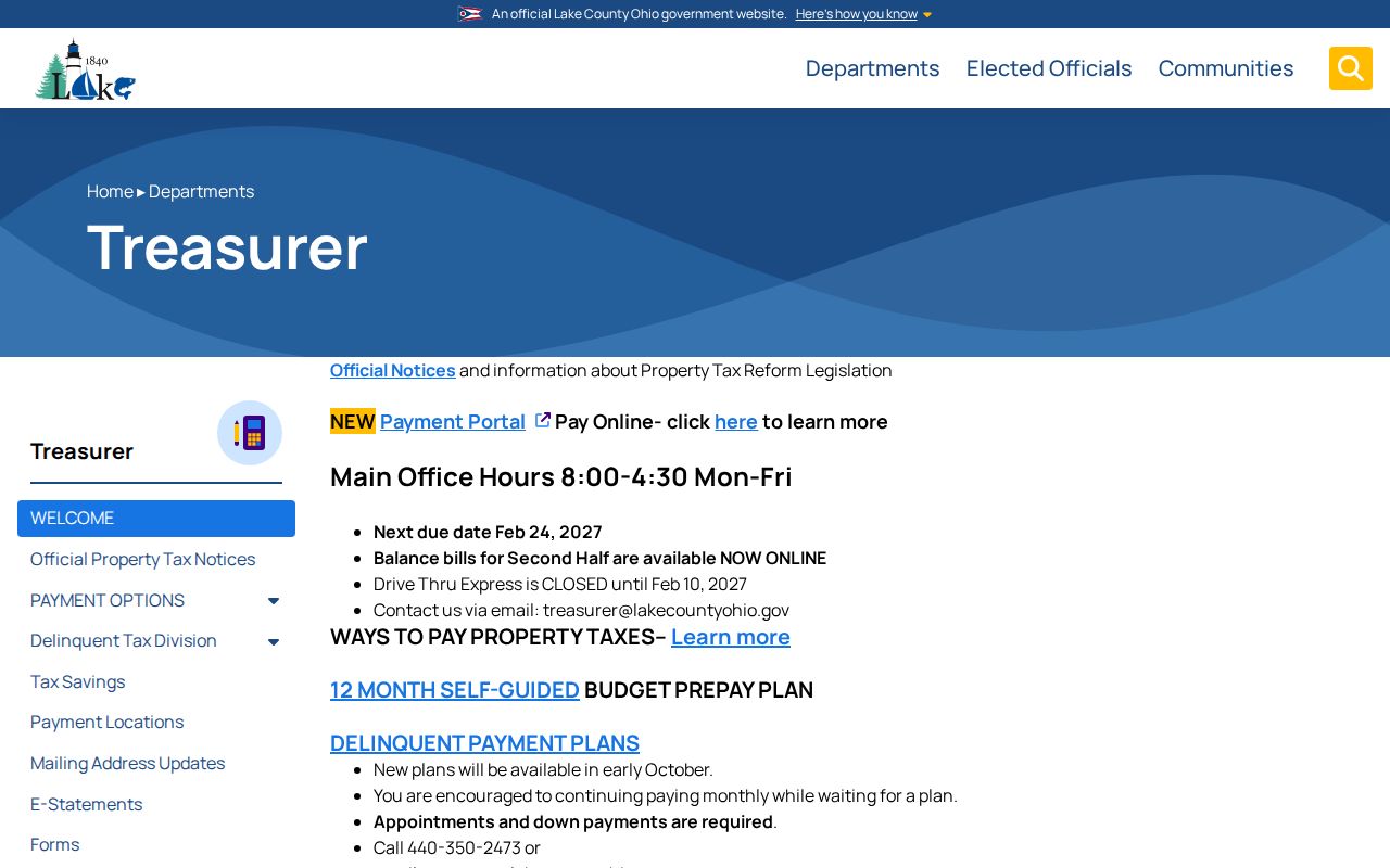
The Treasurer notes that tax summaries refresh nightly while bills are monthly, so a current tax context should be dated and compared with the Auditor record.
Lake Navigator for Willoughby Streets
Lake Navigator complements the property form with map context. Its main search accepts a PIN or parcel number, owner name, or address. The official help suggests entering a short address form such as “105 main st” to broaden suggestions. Search results can include Parcels and Esri World Geocoder suggestions, so choose the parcel result when the goal is to follow a Willoughby address through county records. The GIS department reports more than 30 online layers, including property and land records, historical aerial imagery, address points, road centerlines, subdivisions, original lots, jurisdictions, and building footprints.
A map view is a locator, not a survey. The county warns that its property-ownership parcel layer is not survey accurate. It also has not documented a named public radius tool. For a road segment, map-browse the relevant street, select a parcel, and use the PIN to confirm its tax record rather than claiming a measured boundary or a household list.
Lake County GIS maps and downloads show the county source for the layers that put a Willoughby address search in geographic context.
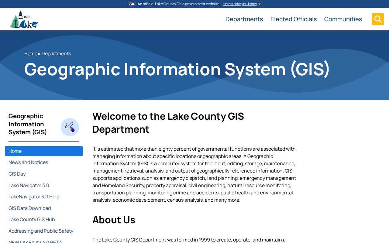
Use the displayed street, parcel, and jurisdiction layers to normalize a record, then return to the Auditor or Recorder for the underlying property role or document.
Willoughby Street Names That Changed
Older street forms are a local trap in any historic Willoughby address search. City records document Cemetery Street changing to West Spaulding Street in 1923, Fairway Boulevard in North Bay Colony becoming North Bay Drive in 1994, and Honey Crisp Court in Melrose Farms becoming Steve Guard Court in 2007. These examples do not prove that the city renumbered every address. They show why a failed modern-name search should be followed by the former street form, the subdivision or plat context, and the parcel's legal description.
The city also publishes street-and-ward and historic-downtown maps. They help reconcile a directory heading, a street description, or a former road name before a searcher assumes the modern spelling is the only valid version.
Willoughby's zoning and street-map downloads provide the city map layer for checking a historical street reference.
Map evidence identifies street context, while a deed's legal description or a confirmed parcel record supplies the stronger bridge between old and current forms.
Recorded Deeds Along Willoughby Streets
The Recorder holds the recorded-land side of a Willoughby address trail. Its public site offers AVA for basic information and Laredo Select for advanced searching that requires an account registration and password. The office does not publicly expose an exact AVA field list or online coverage start on its landing page, so those details should be confirmed for the target instrument rather than guessed. A deed chain is normally followed through people and the legal description, not an address-only search.
Begin with the current owner and legal description from the Auditor file. Locate the purchase deed or ask the Recorder to identify it. Record the document type, grantor, grantee, recording date, document number or book and page, legal description, and any prior-instrument reference. The prior grantor can become a possible earlier grantee when the legal description and date fit. AVA may be sufficient for a basic trail; Laredo is a distinct account-based route; the Recorder counter and public-record request inbox are the third access route.
- Parcel
- A county property unit identified by a Parcel ID or PIN. It connects map context to tax records but does not itself prove who is present at the property.
- Situs address
- The physical location of the property. It should remain distinct from a tax mailing address.
- Plat
- A recorded map that describes lots or a subdivision. It can help bridge a street name to a legal description.
- Criss-cross directory
- A dated directory organized from street and house number to a listed name, rather than from name to address.
For a document that does not surface online, email RecorderPublicRecordRequest@LakeCountyOhio.gov with the known address, parties, date range, and document clue, or use the Recorder counter at 105 Main Street in Painesville. The Recorder identifies Lake County's first deed as April 16, 1840, so an older Willoughby land question may require a predecessor jurisdiction.
Willoughby Permit Activity by Address
Willoughby's Building Department offers online forms for certificate of occupancy, plan review, electrical, gas piping, HVAC, plumbing, fire protection, sewer, right-of-way, and other work. A responsive permit can date a project or identify an owner or applicant role tied to an address. It does not establish that a named person currently lives there. The city page offers applications and forms, but no public address-result index for issued permits was located.
For a specific address, a focused city public-records request is the documented fallback. Name the street address, a bounded date range, and the permit type sought. Ask for responsive permit number, application date, project description, applicant or owner role, and available copy information. That is more reliable than treating an application form as proof that an address can be searched online.
Willoughby's Building Department permit forms show the city channel for this address-based research.

Use the form menu to identify a permit class, then request only the dated records that fit the address question.
Historic Willoughby Street Listings
Morley Library's Haines & Co. Lake-Geauga Counties Directory criss-cross run is the address-first historical layer for Willoughby research. Verified holdings include 1976, 1977, 1981 through 1987, 1989, and 1991 onward as a continuing subscription. The availability pattern has gaps and overlaps, so the volume year matters. A name printed under an address is a historical listing for that edition, not evidence of current residence or of every person connected with the address.
Read the address exactly as printed, then inspect the ordinary directory and its key for the same period. Morley's Willoughby-area directory series has its own selected 1961 through 1991 volumes and a continuing regional series from 2000 onward. The collections are described in more detail on the Willoughby city directory page, while the street question here is simply whether a particular address was listed in a particular year.
Note: Historic directory volumes must be read by their stated coverage area because some titles include nearby communities as well as Willoughby.
Street-Search Records in Willoughby
Address-record research in Willoughby has no single master file. The most useful address-keyed sources overlap but do not replace one another. The Auditor establishes the public property and tax context. Lake Navigator establishes map context. Recorder instruments trace title by document roles and legal description. City forms and a records request can date address activity. Historical directories test a past listing. Each source has a different access route and a different boundary.
| Address source | Custodian | Useful street fact | Access route |
|---|---|---|---|
| Real Property and Tax Information | Lake County Auditor | Parcel, owner label, tax mailing context, address and legal-description clues | Public search by parcel, owner, address, or postal code |
| Lake Navigator | Lake County GIS | Parcel suggestions, roads, address points, subdivisions, imagery, and public layers | Public PIN, owner, or address search and map browse |
| Recorded instruments | Lake County Recorder | Grantor/grantee roles and legal-description title trail | AVA basic, Laredo account access, counter, or email request |
| Building records | Willoughby Building Department | Responsive project or permit material for a stated address and period | Forms online; focused city request or counter when needed |
| Criss-cross volumes | Morley Library | Dated address-to-listed-name association | Consult the specific historical volume |
Use the parcel number to connect the property and deed trail. Use the street name to compare maps and directory headings. Preserve the source and date whenever a record is copied into a personal research log.
Voter Limits on a Willoughby Street
Ohio's My Voter Information service is person-specific. Its visible form requires first name, last name, and county. It can help verify a known matching elector and return registration, precinct, or polling information. It does not provide a verified public browse mode for every name on a Willoughby street. A conditional street choice that may appear after a broad match is not the same as a street roster.
The Ohio voter-data system also offers county registration-file requests, but it is not a visible street-search form. For a permissible record question, the Lake County Board of Elections is the custodian. Protected addresses remain protected, and public records should never be combined to circumvent Ohio's Safe at Home protections.
Note: A property owner, tax-mail recipient, deed party, directory listing, and registered voter are separate record roles that should not be collapsed into one identity claim.
Limits of a Willoughby Street Directory
An address search can help locate public property roles, recorded documents, map features, and dated historical listings. It cannot establish a complete household roster, current location of every person associated with an address, motor-vehicle address data, utility-customer information, or a protected substitute address. Ohio's public-record rules have exceptions, and Safe at Home participants can use statutory address protections. A failed result may reflect a name change, former street form, record boundary, or protected status.
Lawful use. Use Willoughby address records for personal, family-history, estate, civic, or property research. Do not use public material to stalk, harass, intimidate, or harm another person.