
Willoughby ZIP Code Directory Coverage
The documented postal picture is narrower than a list of nearby numbers can suggest. The primary delivery geography is 44094, and USPS makes the final assignment for each entered street address. The Willoughby ZIP code directory must also keep 44096 separate because USPS bulletin material identifies it as a Willoughby PO Box label. Nearby 44095 and 44097 have Willowick and Eastlake associations in the cited postal material. They are not verified as physical-address ZIPs for the City of Willoughby.
| ZIP code | Areas covered | Post office | Notes |
|---|---|---|---|
| 44094 | Primary Willoughby delivery geography | Willoughby Post Office | USPS verifies individual street-address assignment. |
| 44096 | Willoughby postal grouping | Willoughby PO Box label | Not proof of a physical residence in the city. |
| 44095 | Nearby postal geography | Willowick association | A nearby code can serve geography outside Willoughby. |
| 44097 | Nearby postal geography | Eastlake PO Box label | Not verified as a Willoughby physical-address ZIP. |
The postal scheme groups 44094 and 44096 under the Willoughby 44094 mail grouping, while 44095 and 44097 are grouped under Willowick 44095. This is a delivery arrangement, not a map of local government custody. A regional city label, phone exchange, or nearby post office should not be used to turn those four numbers into a single citywide list.
USPS ZIP Code Lookup is the verification endpoint for a particular Willoughby street address.
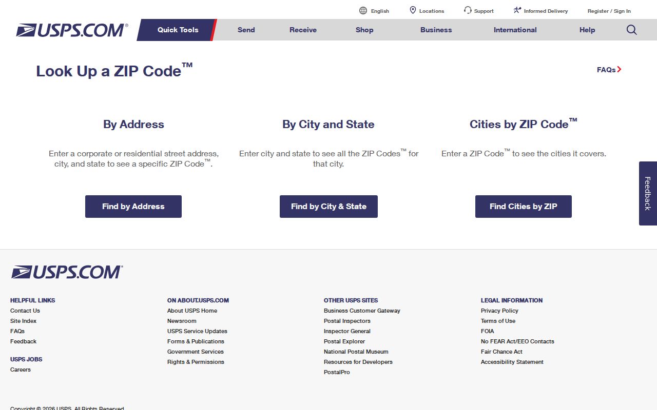
Enter the full delivery address there before attaching a ZIP code to a parcel or a city record.
Willoughby ZIP Code Delivery Roles
The Willoughby Post Office is listed by USPS at 4040 Erie Street, Willoughby, OH 44094-9998, with phone 440-951-0543. Research recorded general retail hours of Monday through Friday, 8:00 a.m. to 5:30 p.m., and Saturday, 8:00 a.m. to 2:00 p.m. Postal service and holiday windows can change, so verify current availability with USPS before visiting. The office listing helps identify the post-office channel; it does not decide whether an address lies inside a city limit.
Use the full street address for delivery confirmation. A number ending in 44096 can be a valid Willoughby PO Box routing label, yet it does not establish a physical residence. In the same way, an address with a nearby postal association cannot settle a parcel's municipality or its recorded legal description. Postal records route mail. City and county offices keep different kinds of information.
USPS lists the Willoughby Post Office location and services.
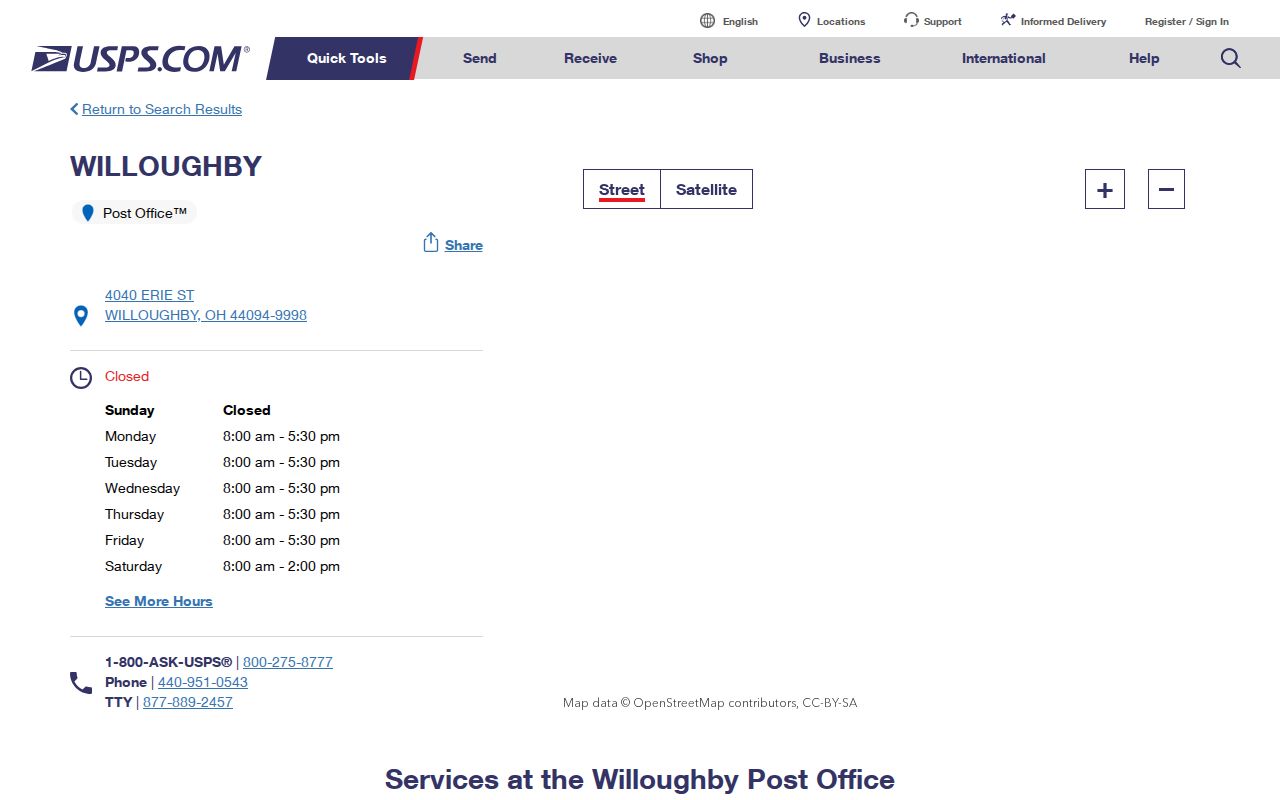
The postal listing is useful for confirming service information, while the address lookup remains the authority for an individual delivery address.
Check a Willoughby ZIP Code First
Start with USPS when a mailing label is disputed or a historic note uses a nearby city name. The lookup standardizes an entered address and returns the assigned code. It is more dependable than guessing from a neighborhood name or assuming every address bearing a Willoughby label is inside the municipality. Once the postal answer is known, use the Lake County Auditor or Lake Navigator for property context. Neither tool changes the postal assignment.
- Enter the complete street number, street name, city, and state in the USPS lookup.
- Record the standardized address and ZIP result exactly as returned.
- Search the Auditor by the validated address, or add the postal field only to narrow that address query.
- Use a parcel ID and legal description when a subdivision, street change, or city boundary creates doubt.
- Check the appropriate public custodian for the specific record question rather than treating the ZIP as a household list.
Lake Navigator has a unified address input and allows an address to include a ZIP, but its official help does not show a separate postal-code filter. Its jurisdiction, road-centerline, address-point, parcel, original-lot, and subdivision layers help place a result geographically. The GIS warns that parcel geometry is not survey accurate, so it is not a final boundary determination.
Willoughby ZIP Code Auditor Fields
The Lake County Auditor Real Property Search includes a Postal Code input in its address-search controls. That makes it a useful ZIP-capable local tool for narrowing a known address. The field is not an official entire-ZIP export or resident directory. No source inspected documents a complete 44094 or 44096 list from the Auditor. Use its results for property and tax context, then keep the displayed role and date with the note.
| Address number | Starts a street-address query when paired with the street field. |
|---|---|
| Street | Lets the searcher select or enter the street name for the known address. |
| Postal Code | Narrows the address query; it is not a verified ZIP-wide listing control. |
| Parcel ID | Finds a recorded parcel and bridges a street form to the legal property record. |
| Owner | Searches a named property or tax role, which is not a roster of all residents. |
Auditor instructions say to use capital letters and no dashes. A parcel result should be read carefully because the tax mailing address and the situs address can differ. The situs is the property location. The mailing address is where tax material goes. Neither should be relabeled as a current-resident finding without another dated record.
Willoughby ZIP Code Directory Limits
Postal filtering is deliberately limited. Lake Navigator does not document a separate ZIP filter, and the Auditor Postal Code field narrows an address search rather than producing a public list for an entire ZIP. Ohio's DRC Offender Search has a ZIP Code option only for specified APA Supervision or Violators at Large status searches, and an address there is described as last recorded. It should not be used as a general local directory or as a way to build a geographic list.
The Ohio Data Act voter-data system is a separate county-file access route. Its visible filters are Election, Start Date, End Date, and County List, with requests limited to up to seven days before search, batching, and download. It does not supply a verified city ZIP filter. Daily county registration snapshots are made as of 4:00 p.m. and can omit changes processed later that day. Check the published file documentation rather than assuming Lake County columns or a postal sort that was not verified.
Ohio's voter-data request system documents the statewide county-file route.
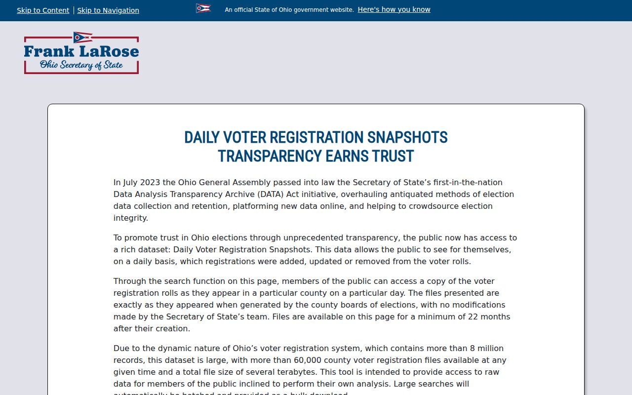
Its county-oriented design illustrates why a ZIP code search should not be represented as a complete list of people in Willoughby.
Willoughby Postal and Parcel Terms
The same address can carry several labels. Keeping them apart avoids a false match between a mailing record, a map layer, and a deed. A ZIP code is a mail-routing label, not a legal description or a property-boundary decision.
- ZIP code and ZIP+4
- The five-digit ZIP routes mail broadly; ZIP+4 adds a more specific delivery segment but does not define a city boundary.
- PO Box ZIP
- A routing code associated with post-office boxes, such as the documented 44096 Willoughby label; it does not prove a physical city address.
- Unique ZIP
- A ZIP assigned for a particular organization or delivery purpose. No unique Willoughby ZIP was verified in the inspected research.
- Carrier route
- A postal delivery grouping used by mail operations, not a municipal precinct, parcel boundary, or household roster.
- Legal description
- The recorded lot, subdivision, or metes-and-bounds language used in deeds, distinct from the street address and ZIP.
When an address was renamed or lies near a boundary, write down the ZIP, situs, tax mailing address, parcel ID, and legal description in separate fields. They can agree, but the research does not allow them to be treated as interchangeable.
Willoughby ZIP Code Boundary Mismatches
Postal geography and city geography have a local mismatch built in: 44094 is the principal Willoughby delivery geography, while 44096 is a PO Box code, and 44095 or 44097 carry neighboring associations. USPS assigns the code to the actual delivery address. A record search should therefore begin by verifying the street address, then use city maps, county GIS, and the parcel record to identify the appropriate jurisdiction. Do not infer municipal custody from the postal label alone.
Historic street names add another layer. Cemetery Street became West Spaulding Street in 1923, Fairway Boulevard in North Bay Colony became North Bay Drive in 1994, and Honey Crisp Court in Melrose Farms became Steve Guard Court in 2007. These are search terms, not evidence of a citywide renumbering. Compare the old and new forms against the parcel's legal description and the city street-and-ward or historic-downtown maps before deciding that two references describe the same property.
Willoughby's local-information page is a public community and city-contact resource.
Public local contacts can provide city context, but they do not replace USPS delivery verification or a county parcel record.
Use Willoughby ZIP Code Records Carefully
The practical workflow is narrow by design. USPS answers the delivery question. The Auditor can relate a verified address to parcel and tax fields. Lake Navigator can place the address among parcels, streets, subdivisions, and jurisdiction layers. Each record has a different purpose, and none creates a complete roster for a ZIP. For a street-level address trail after the postal and parcel facts are settled, use the Willoughby streets directory.
- Verify the exact delivery address with USPS and preserve the returned ZIP.
- Use the Auditor address and Postal Code fields only to narrow that known property search.
- Record parcel ID, situs address, tax mailing address, and legal description as distinct fields.
- Open Lake Navigator for map context, remembering its parcel layer is not survey accurate.
- If an old street label appears, test the documented former name before linking it to the current address.
No official ZIP-level population, registration count, realignment year, or full city-neighborhood-to-ZIP table was located in the research. That gap is meaningful. USPS address lookup is the right final check whenever a contested address, a PO Box label, or a city-boundary question affects the conclusion.